
Virtual Map Room
Scanned versions of maps of local interest. The files are stored in a Google Drive folder. Clicking on the thumbnails of the map title will take you to the full file (usually an image file like “tif” or “jpg”).
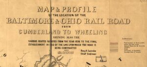
1850 B&O Railroad Map
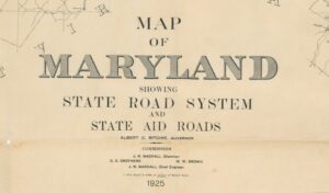
1925 Maryland State Road Map
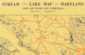
1955 Stream and Lake Map of Maryland
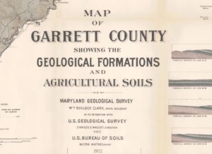
1902 Geology Map of Garrett County
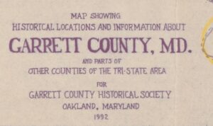
1992 Historical Locations in Garrett County
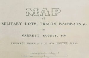
1874 Map of Military Lots
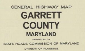
1968 GC Highway Map
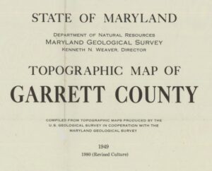
1980 revision Garrett County Topographical Map
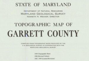
1995 revision Garrett County Topographical Map
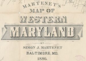
1886 Martenet’s Map of Western MD (Washington to Garrett)
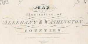
1840 Map Illustrative of Washington and Allegany Counties
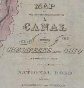
1824 Map of the Country Through Which a Canal to Connect the Waters of the Chesapeake and Ohio Is Proposed to Pass and of National Road Between Cumberland and Wheeling
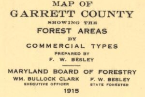
1915 Forest Areas of Garrett County
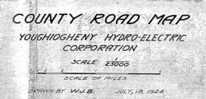
1924 Map of road to be relocated for flooding of Deep Creek Lake
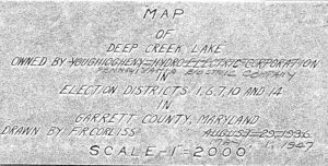
1949 revision of a 1936 map of Deep Creek Lake drawn by F. Corliss
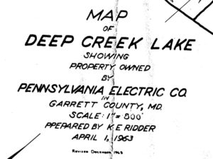
1963 Map of Deep Creek Lake showing Penn Elec ownership and subdivisions
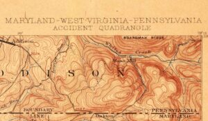
1900 Topographical Map – Accident Quadrangle
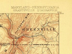
1900 Topographic Map – Grantsville Quadrangle
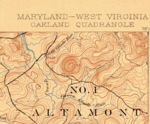
1900 Topographical Map – Oakland Quadrangle
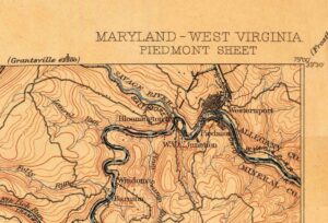
1900 Topographic Map – Piedmont Quadrangle
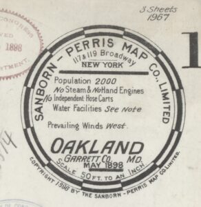
1898 Sanborn-Perris Company Map of Oakland – 1
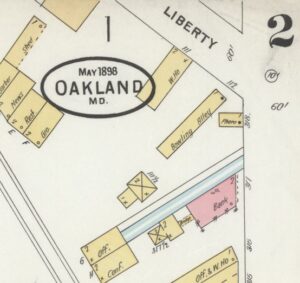
1898 Sanborn-Perris Company map of Oakland – 2
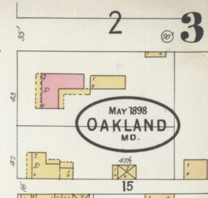
1898 Sanborn-Perris Company map of Oakland – 3
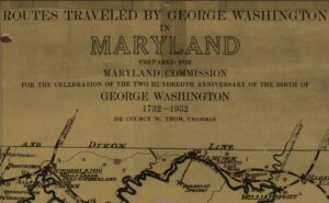
1932 Map of routes traveled by George Washington through MD